Buttermere, Cumberland Family History Guide
Buttermere is an Ecclesiastical Parish in the county of Cumberland, created in 1748 from a chapelry in Lorton Ecclesiastical Parish.
Other places in the parish include: Buttermere Haws, Hassness, and Brackenthwaite.
Alternative names:
Parish church: Buttermere St James
Parish registers begin:
- Parish registers: 1868
- Bishop’s Transcripts: 1801
Nonconformists include:
Table of Contents
Adjacent Parishes
Parish History
The Imperial Gazetteer of England & Wales 1870
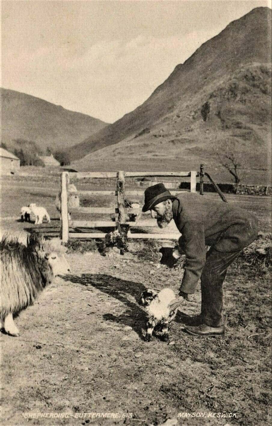
BUTTERMERE, a village, a township-chapelry, and a lake, in Brigham parish, Cumberland. The village stands about midway between Buttermere lake and Crummock water, 8½ miles SW of Keswick r. station, and 10 SSE of Cockermouth; and consists of only a church two inns, and a few scattered houses.
The church is new and neat, on the site of a previous one which was said to be the smallest in England; and one of the inns supplies boats for the neighbouring lakes, and is notable for the pathetic story of “Mary of Buttermere.” The chapelry includes the village; and its Post Town is Loweswater, under Cockermouth. Acres, 4,398. Real property, £1,129. Pop., 101. Houses, 18. The property is divided among a few. Hassness, the seat of General Benson, is on the NE side of the lake.
The general surface is a grand vale, engirt with mountains, and much occupied with the lakes. A steep mountain-pass, called Buttermere-Haws, goes from the village, to an elevation of about 1,600 feet, on the road to Keswick. Blue slate is quarried. The living is a p. curacy in the diocese of Carlisle. Value, £56. Patron, the Earl of Lonsdale.
The lake extends from the head of the vale to within a mile of Crummock water; is 1¼ mile long, ¾ of a mile broad, and 90 feet deep; and has a surface elevation of 247 feet above the level of the sea. Its face looks gloomy; but its skirts are magnificent, being immediately overhung by Honister Crag, with a precipitous front, about 1,500 feet high, and by the Hay-Stacks, High-Crag, High-Stile, Red-Pike, Buttermere-Moss, and Great-Robinson mountains.
Source: The Imperial Gazetteer of England & Wales [Wilson, John M]. A. Fullarton & Co. N. d. c. [1870-72].
A Topographical Dictionary of England 1848
BUTTERMERE, a chapelry, in the parish of Brigham, union of Cockermouth, Allerdale ward above Derwent, W. division of Cumberland, 8½ miles (S. W. by W.) from Keswick; containing 84 inhabitants. The village lies in a deep winding valley environed by high rocky mountains, between the lake of Buttermere, noted for its char, and Crummock water, and in a district celebrated for picturesque and romantic beauty. Mines of lead and copper were formerly worked in the mountains; and many labourers are still occupied in the extensive quarries of fine blue slate in Honister Crag. The living is a perpetual curacy; net income, £56; patron and impropriator, the Earl of Lonsdale. The chapel is a neat edifice, of modern construction.
Source: A Topographical Dictionary of England by Samuel Lewis 1848
Parish Records
FamilySearch
Administration
- County: Cumberland
- Civil Registration District: Cockermouth
- Probate Court: Court of the Archdeaconry of Richmond Western Deaneries – Copeland
- Diocese: Carlisle
- Rural Deanery: Copeland
- Poor Law Union: Cockermouth
- Hundred: Allerdale above Derwent Ward
- Province: York